I get a late start this morning. I’m doing some research on line for a dog ramp. I’ve tried two different ones in the past, and neither are what I need for Joy. I order another one from Amazon. It should be waiting for me at Terri’s house when I get back to the Monterey area. Hope this one works better.
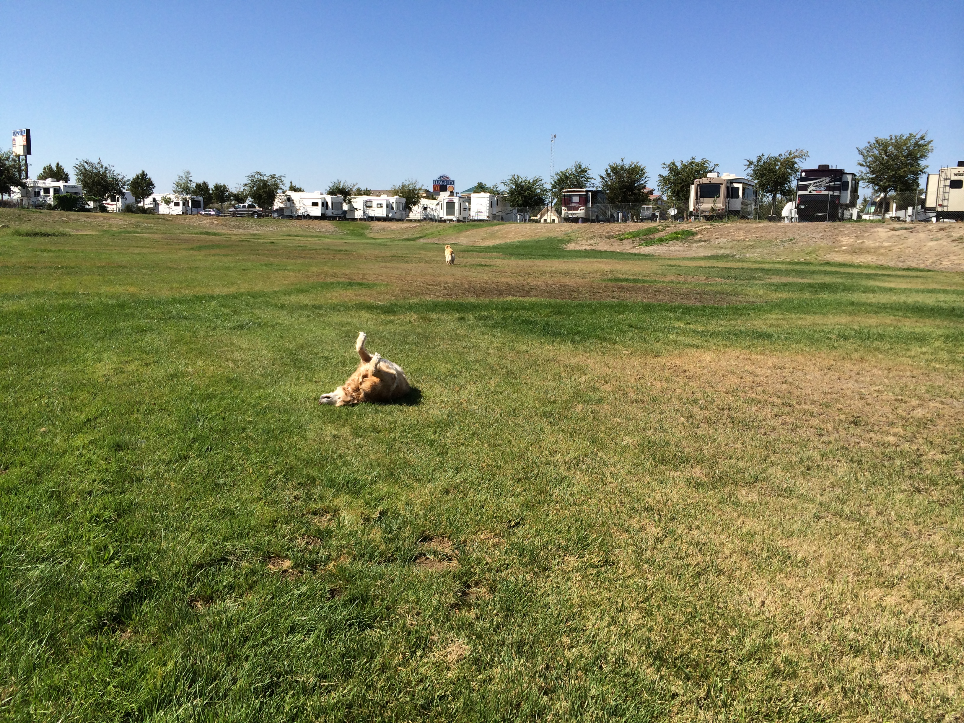
We drive through Provo Canyon, which is just beautiful with colorful mountains rising on both sides of us. Every curve in the road brings another awe-filled scene. My GPS takes me right through down town Provo, but really it’s a nice city and a pleasant ride. I15 is next….just a short jaunt, but full of huge trucks that all pass me at incredible speed. I reach Nephi where I get gas and take state road 132 until I meet up with hwy 50/6. Somewhere in there we come to the little town of Delta and stop at the park for a walk and some play time in the stream. (The dogs play in the stream, not me:-)).
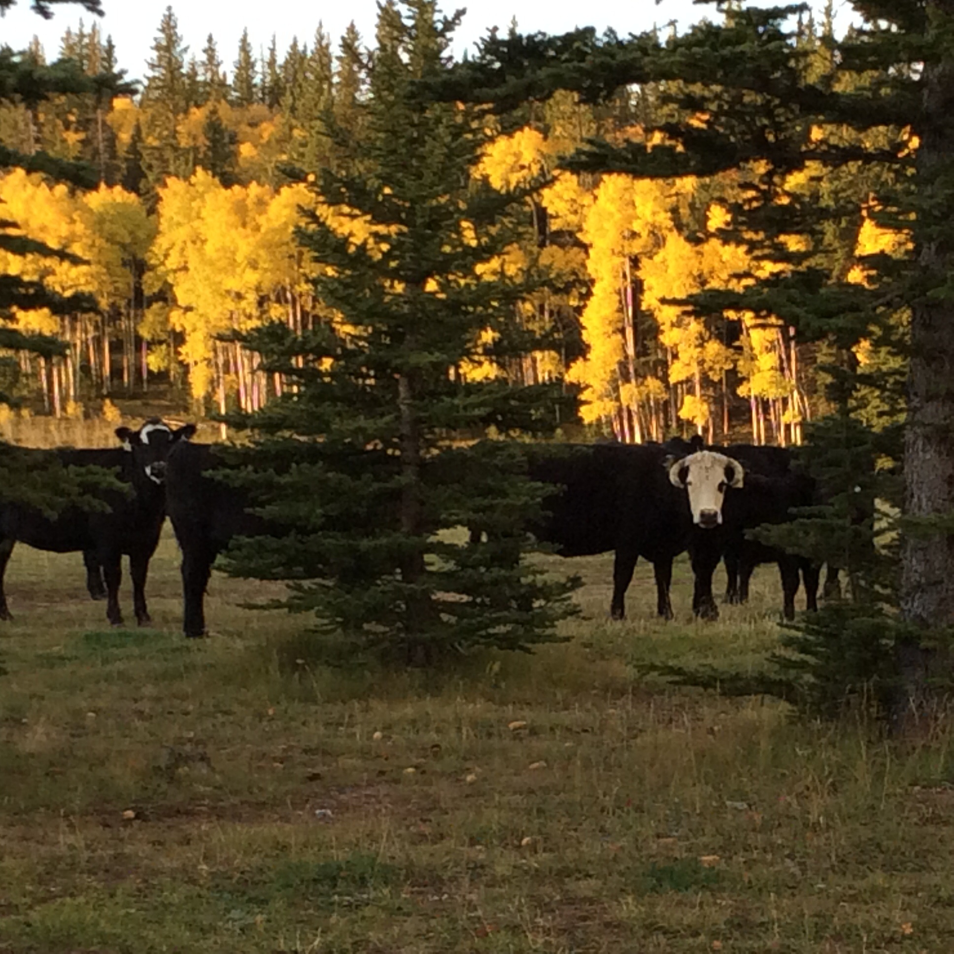
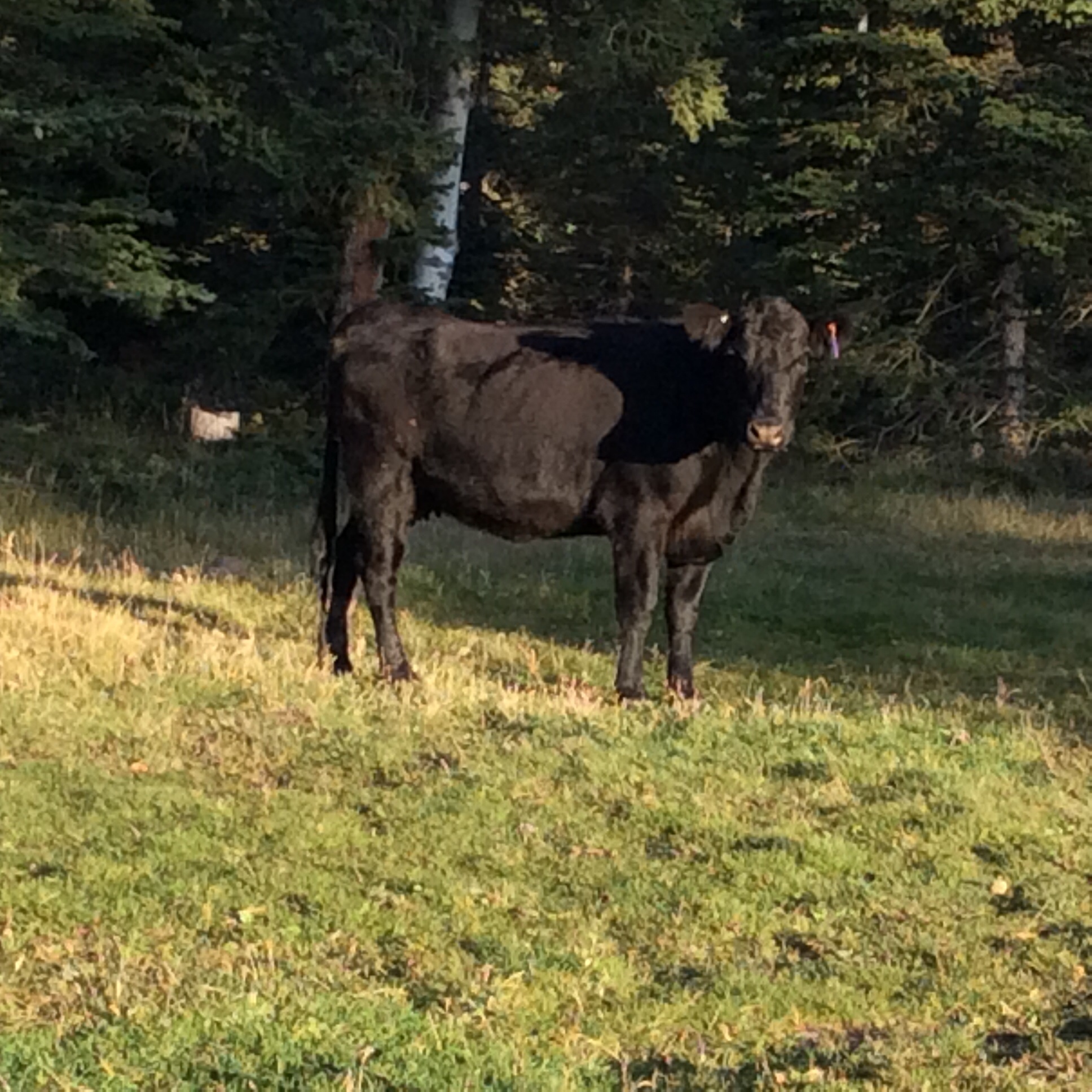
Back on the highway, more beautiful mountains, then a l-o-n-g stretch of flatness. No towns, nothing at all, but scrub sage and some cows here and there. It seems like a long drive….
Finally we cross the Nevada line and soon reach Great Basin National Park. This is Plan A. We’ve driven over 200 miles now…that’s more than enough. I’ll be glad to find a nice camp here. I stop at the visitor center, where the ranger tells me there should be lots of camping available. He tells me about the different camping loops. One is at 10,000 feet. “Oh I don’t want to go up there!” I tell him. He gives me a map and I’m off.
But things don’t work out so well. Yes, there are some camp sites but the area is tight, crowded and I can’t find a site I feel comfortable getting in to. I try at 2 of the 4 loops….and then accidentally find myself on the road to the top….to the 10,000 feet camping/viewing area! No way! I don’t want to do this! I’ll turn around as soon as I can! But for now I’m on a steep upgrade, there is NO guard rail, the road is narrow and I’m on the outside…the side that goes straight down. This is supposed to be a scenic drive? I dare not take one single glance at the scene below! I never look…just cling to the road and the wheel and wait for a turn around spot.
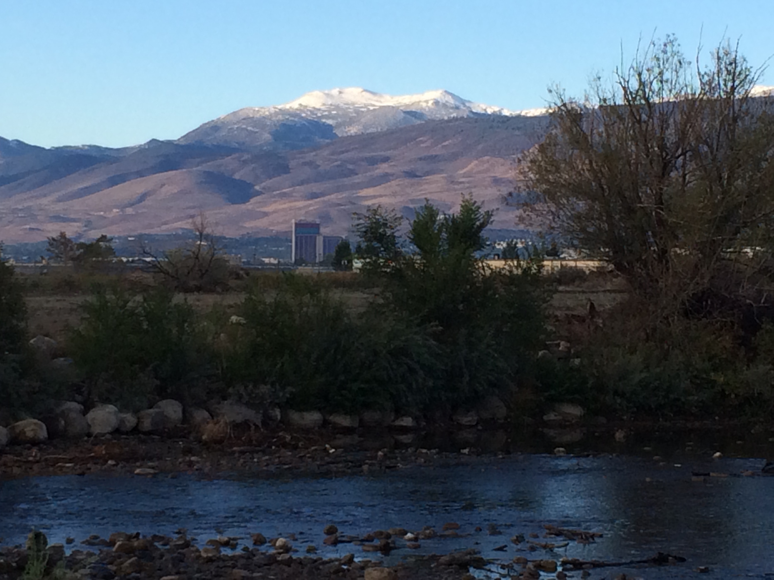
Closing in on 9000 ft the chance to turn around arrives and down I go. Aw come on, can’t you go another 1000 feet up? NO! Now on the inside of the road I do sneak a couple of glances at the sight below. It’s the long flat plain I drove across to get here! Amazing!
I don’t bother with the Baker loop campground, suspecting it will be similar to what I’ve seen here already. I go on to plan B which is to boon dock at Sacramento Pass, not too far away.
Plan B fails when I find that the area is “closed for construction”. Ely is still 60 miles away and I don’t want to drive that far so I watch for possible boon dock sites. Plan C then… I find an area that might work and explore on foot. I even drive back into the area, but I find it just doesn’t feel right. I leave after using another half hour. It’s getting late…
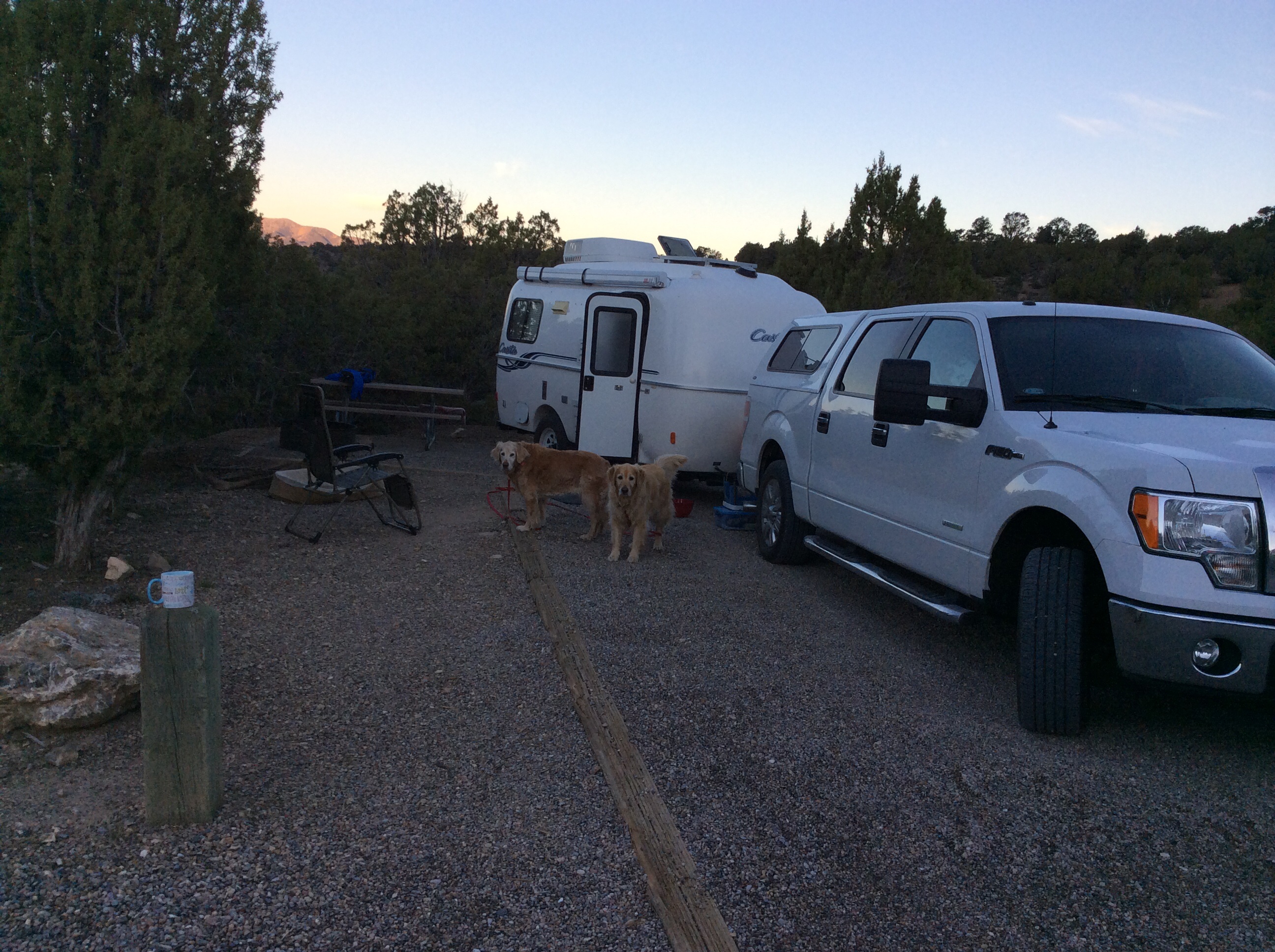
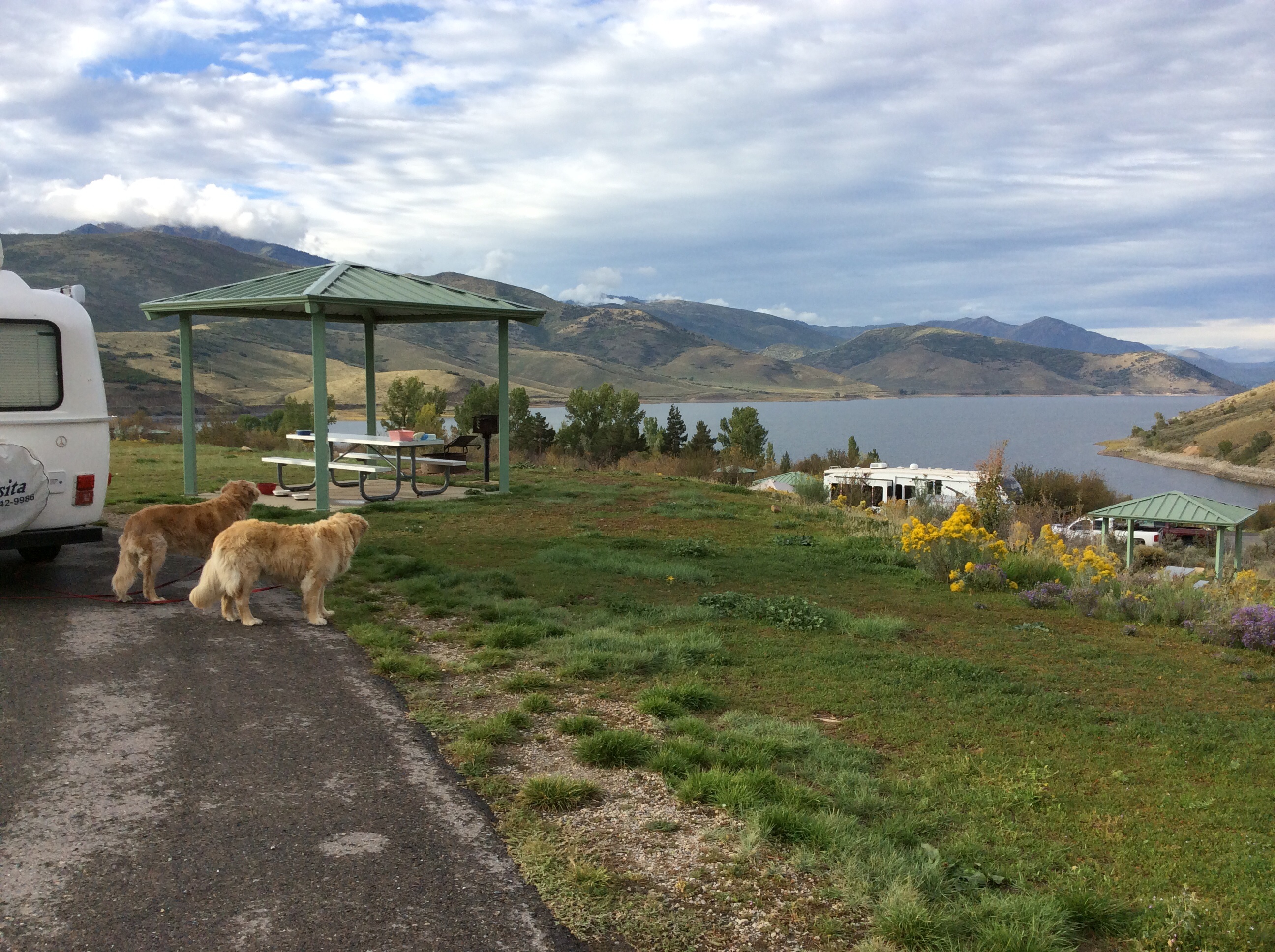
The dogs are not happy. I am not happy. I’m about 11 miles from Ely when I see a sign “Cave Lake State Park 7 miles” with a narrow to the right. Spur of the moment, I make the turn, and it’s a paved road, yay! I turn in to the first camping loop I find. Nice roomy sites with picnic tables, and only 3 of the 17 are taken, a ranger on duty, water spigots, showers, $7, yay again!
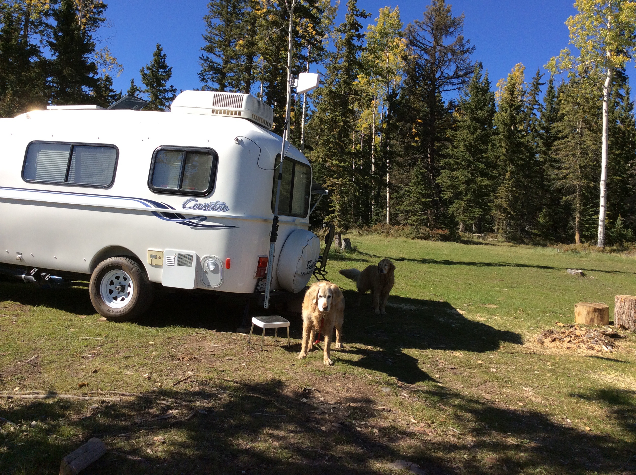
Ok it takes me 15 minutes to back into my site and I’m crooked. Whatever. I’m home. I walk the dogs and meet all my neighbors. Joy, Shiloh, and neighbor Goldendoodle Jack romp and play for awhile. Wow they needed that.
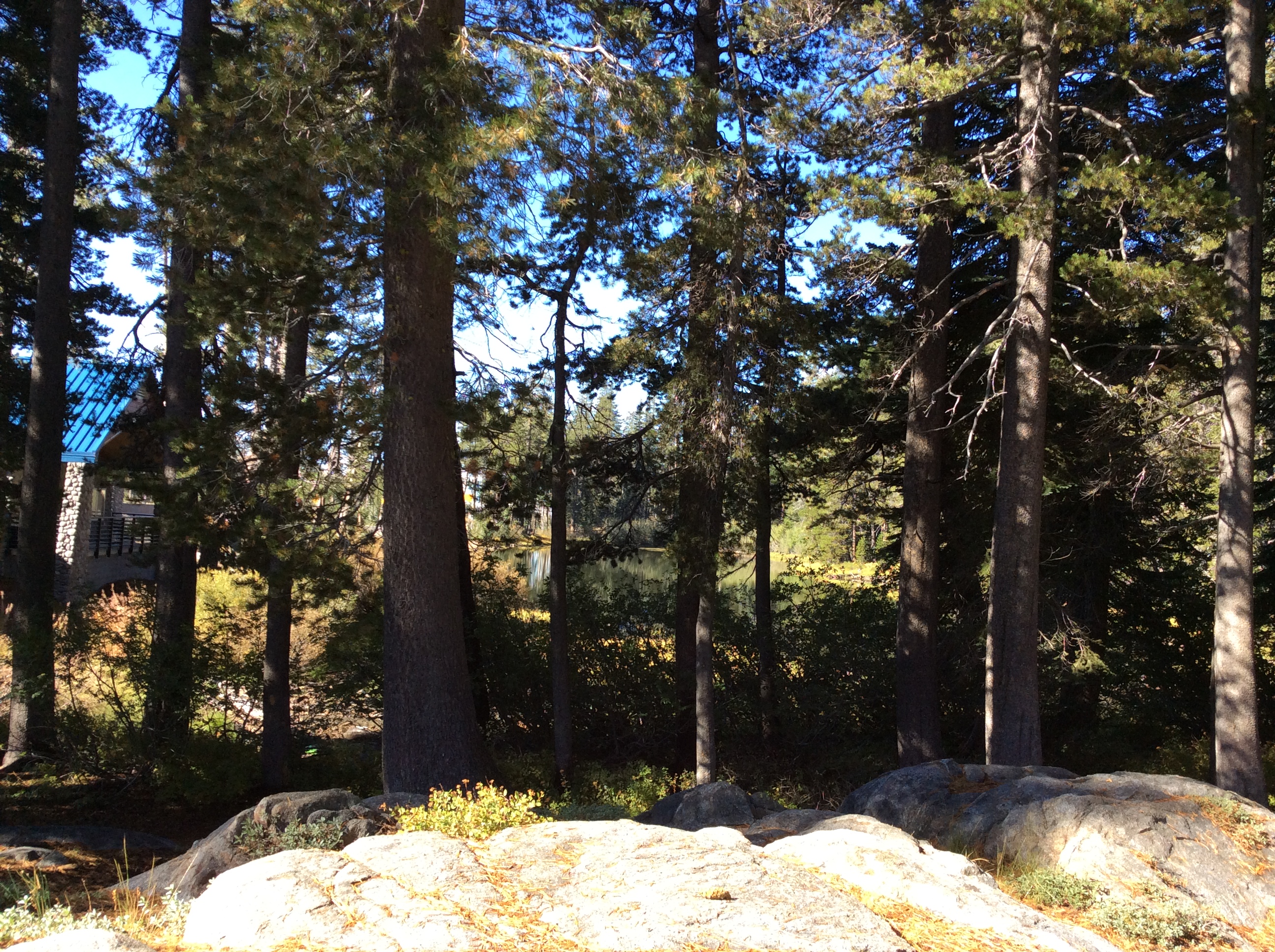
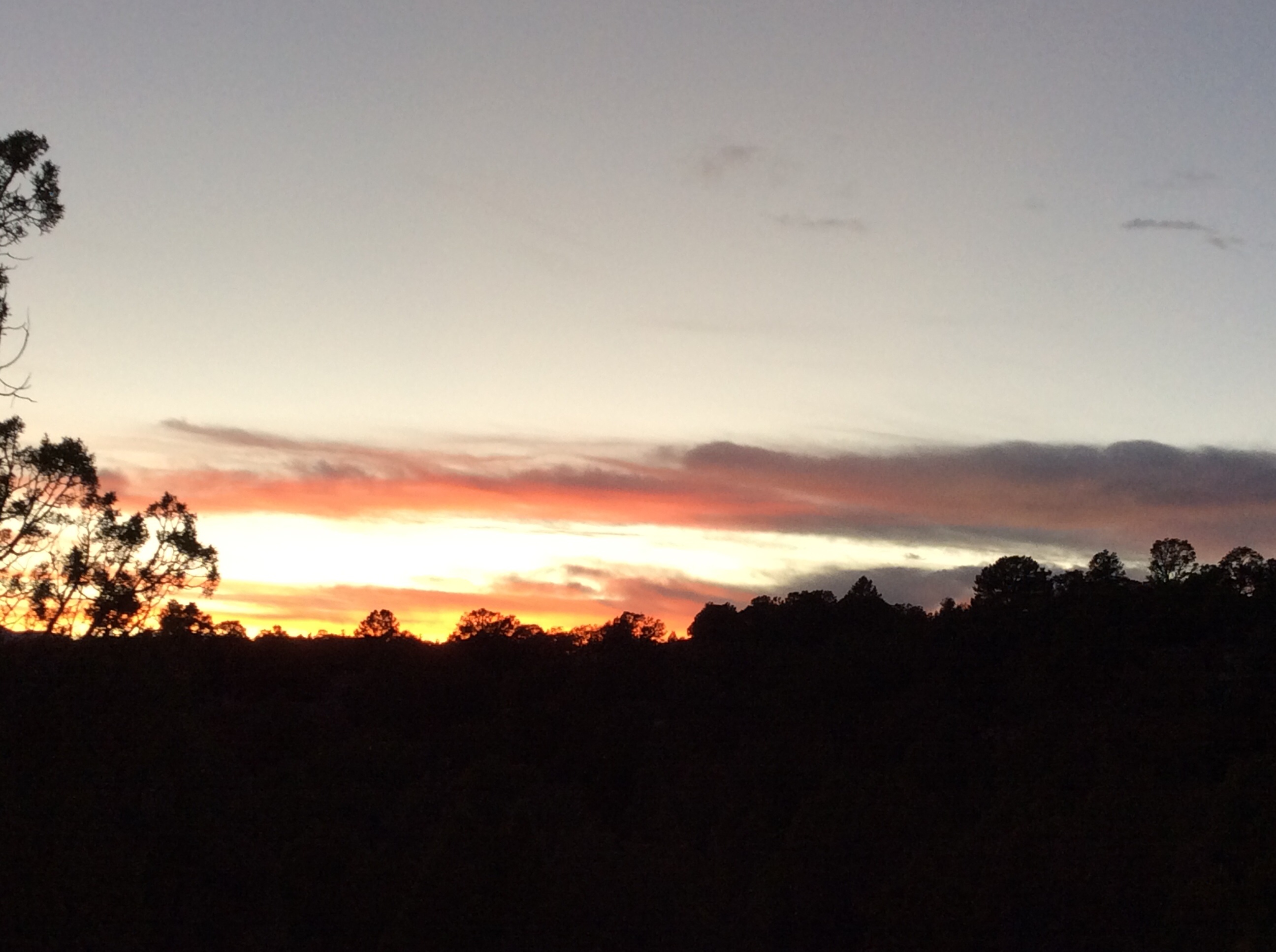
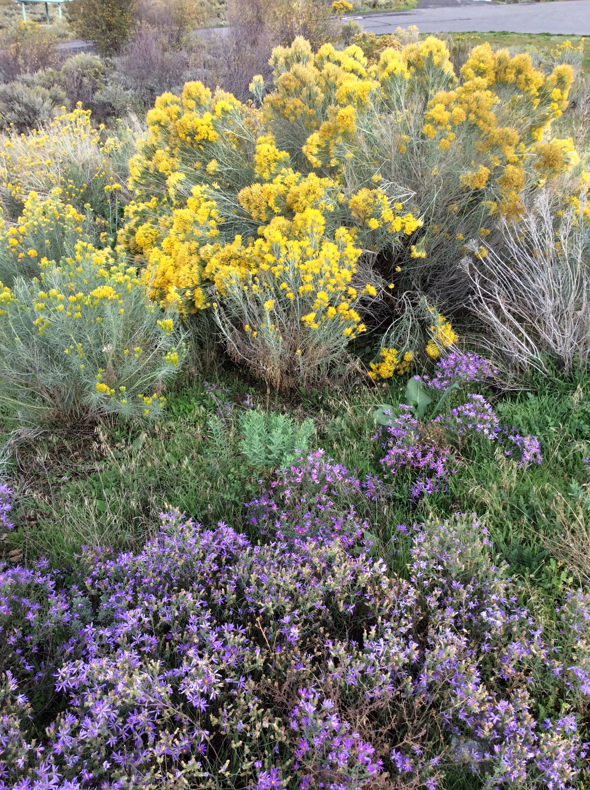
Back at camp I finally eat (I fed the kids as soon as we arrived), and sit down to watch the sun set and the stars come out of hiding. What a beautiful night! Plan D=Delightful!

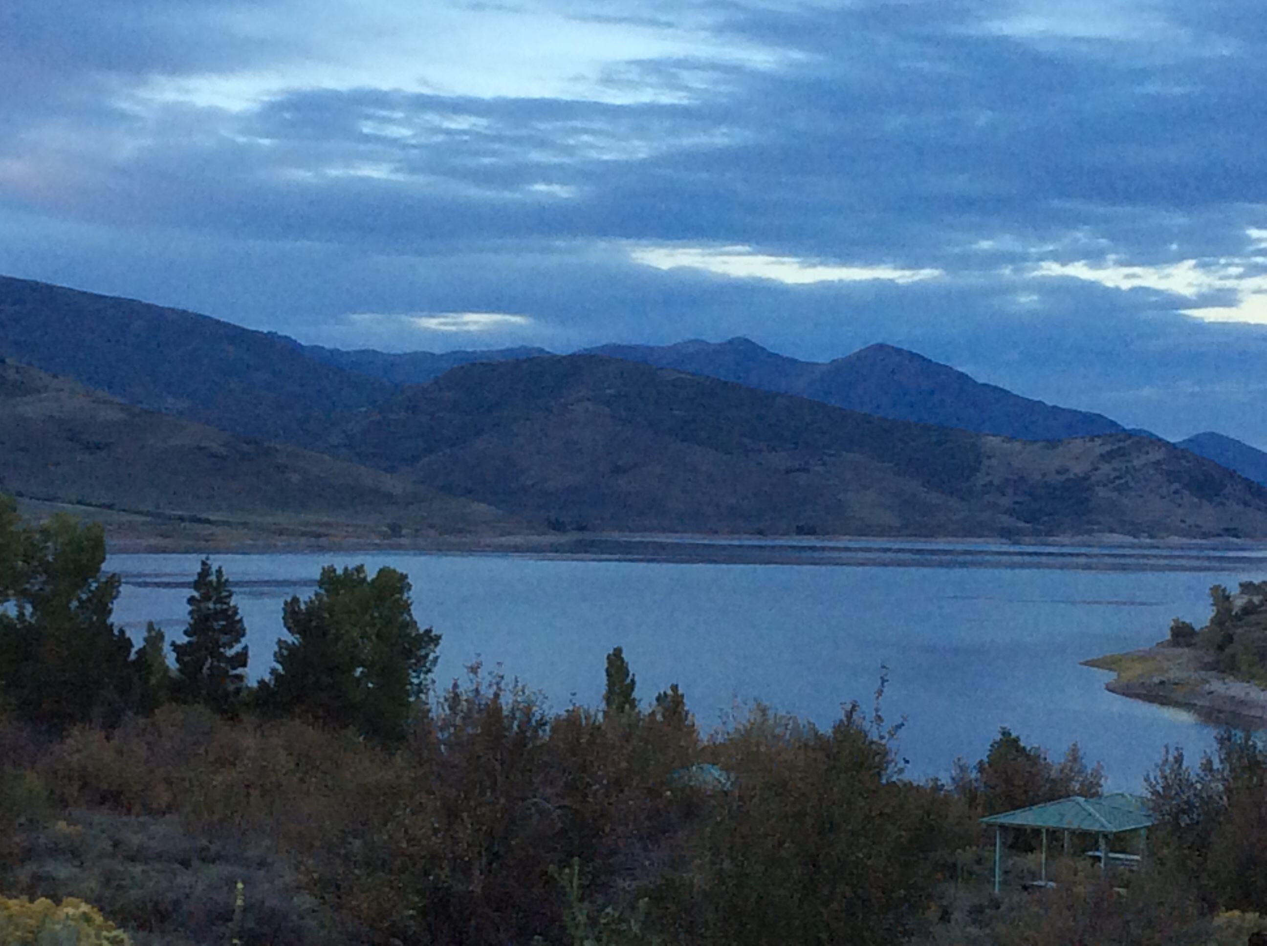
Sunset

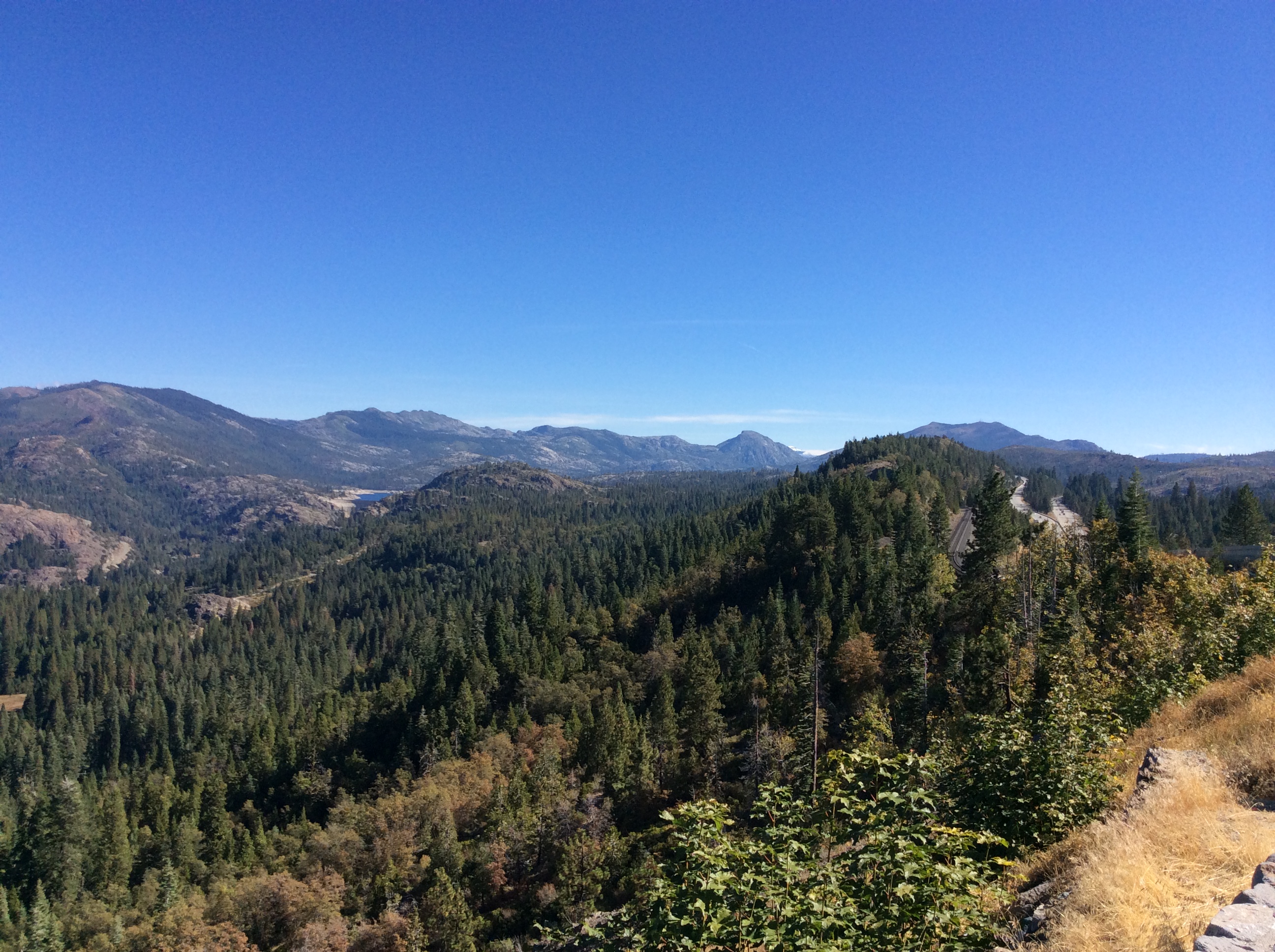
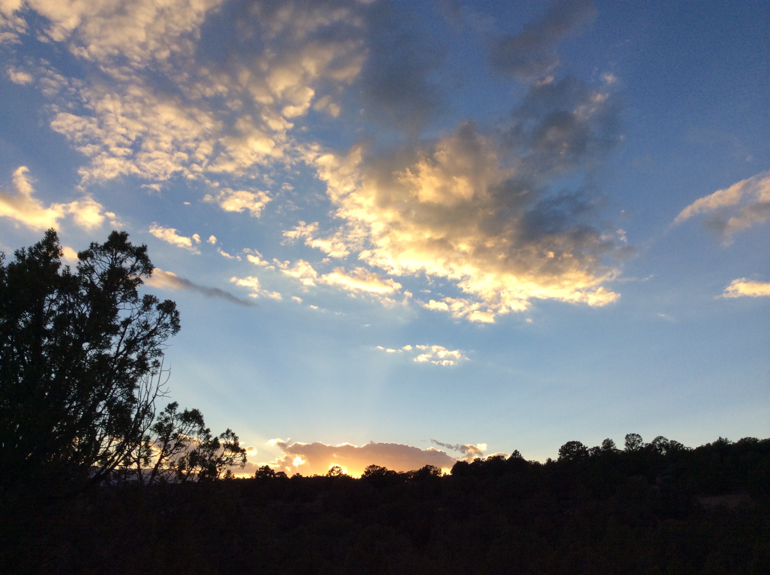
The view from camp
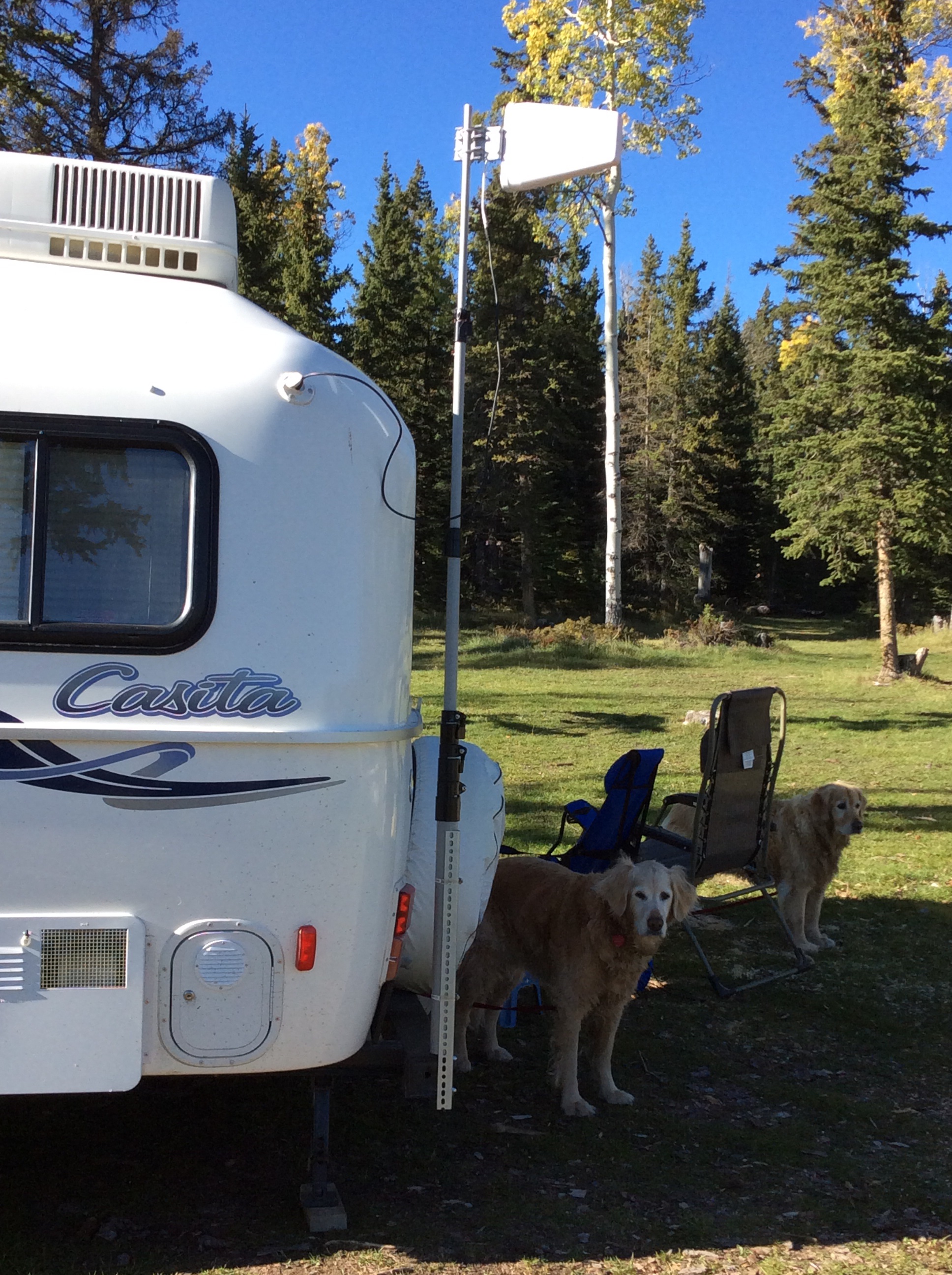
 Still learning to back up!